


Within commuting distance of the Hobart CBD, Sorell and the popular Tasmanian East Coast township of Orford, the property at bush holding is ideally positioned as a recreational 'weekender' bush block to escape the hustle and bustle of day to day life.
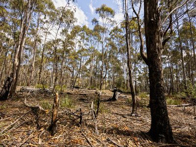
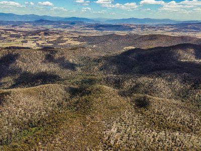
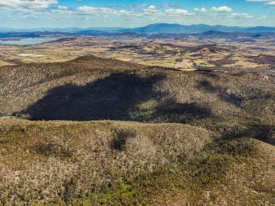
Within the foothills of Mount Morrison, Mount Phipps and Splitters Tier, this holding offers the opportunity to create a small scale timber harvesting operation of firewood supply and/or peeler logs.
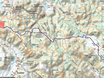
Access:
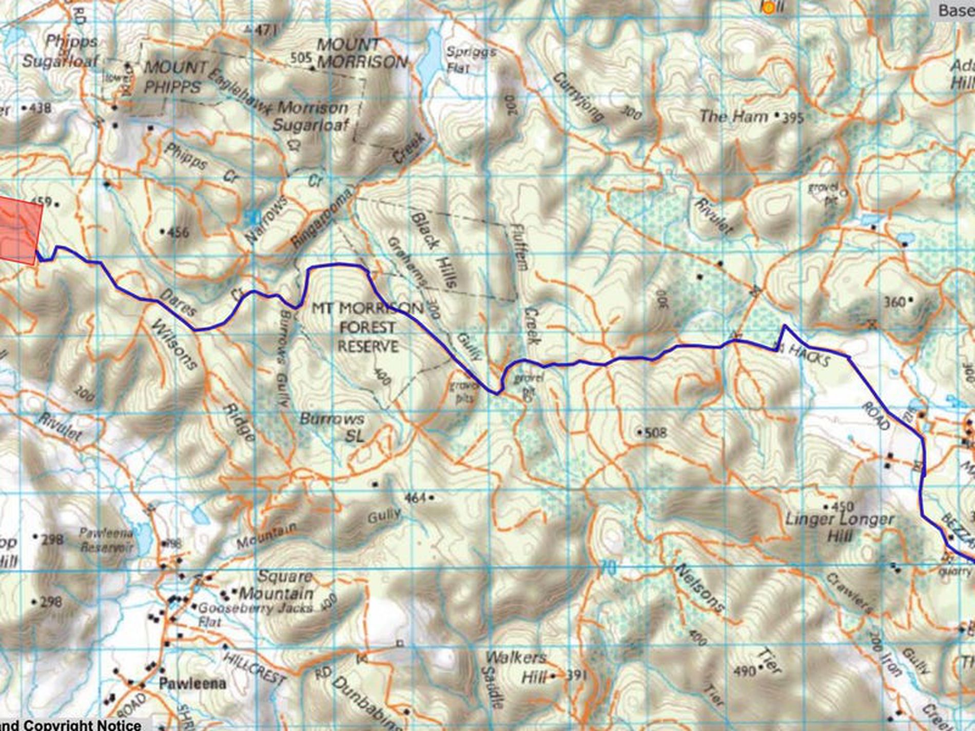
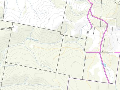
Access to the holding is via unformed reserve road from Nugent Road via Bezzants Road to Hacks Road. Route maps are showing within the photos.
Holding:
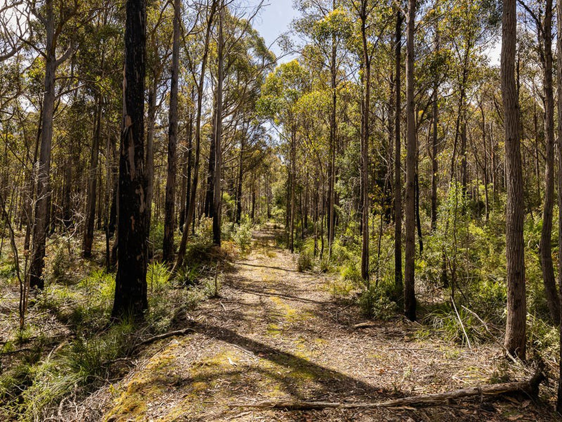
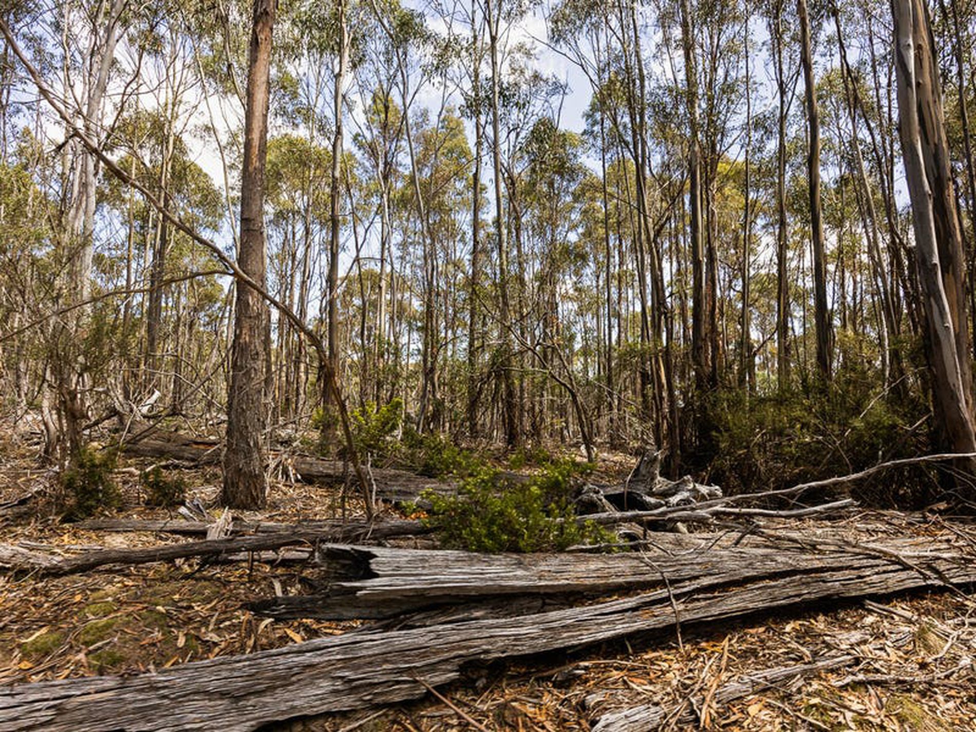
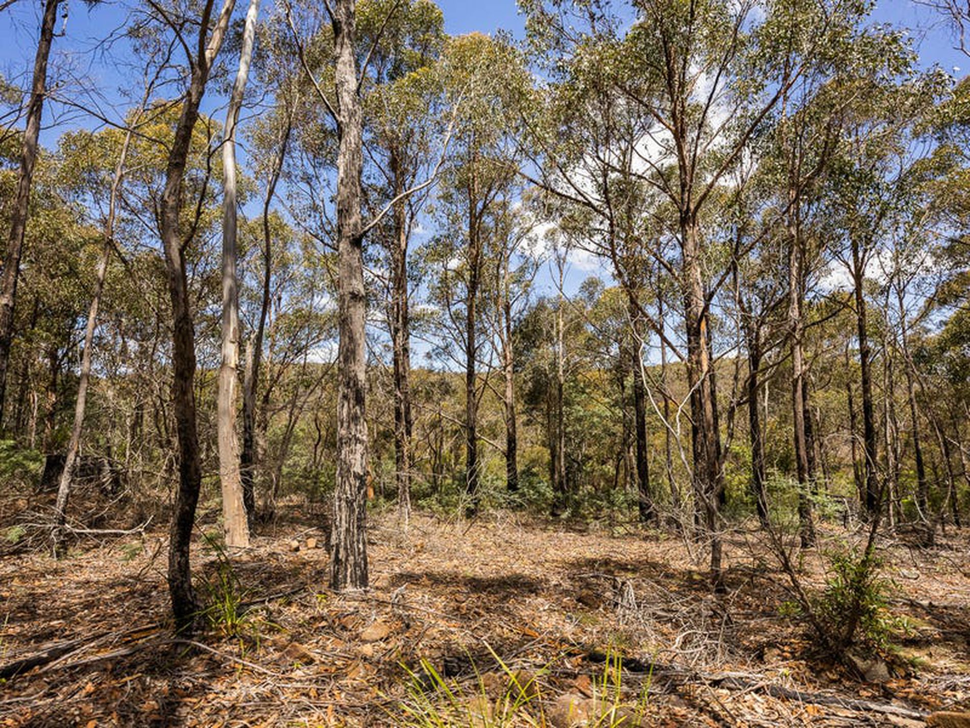
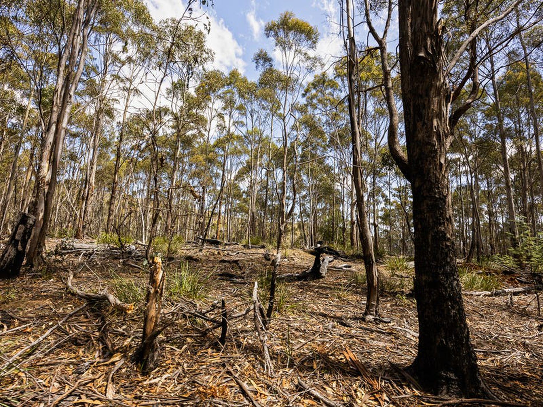
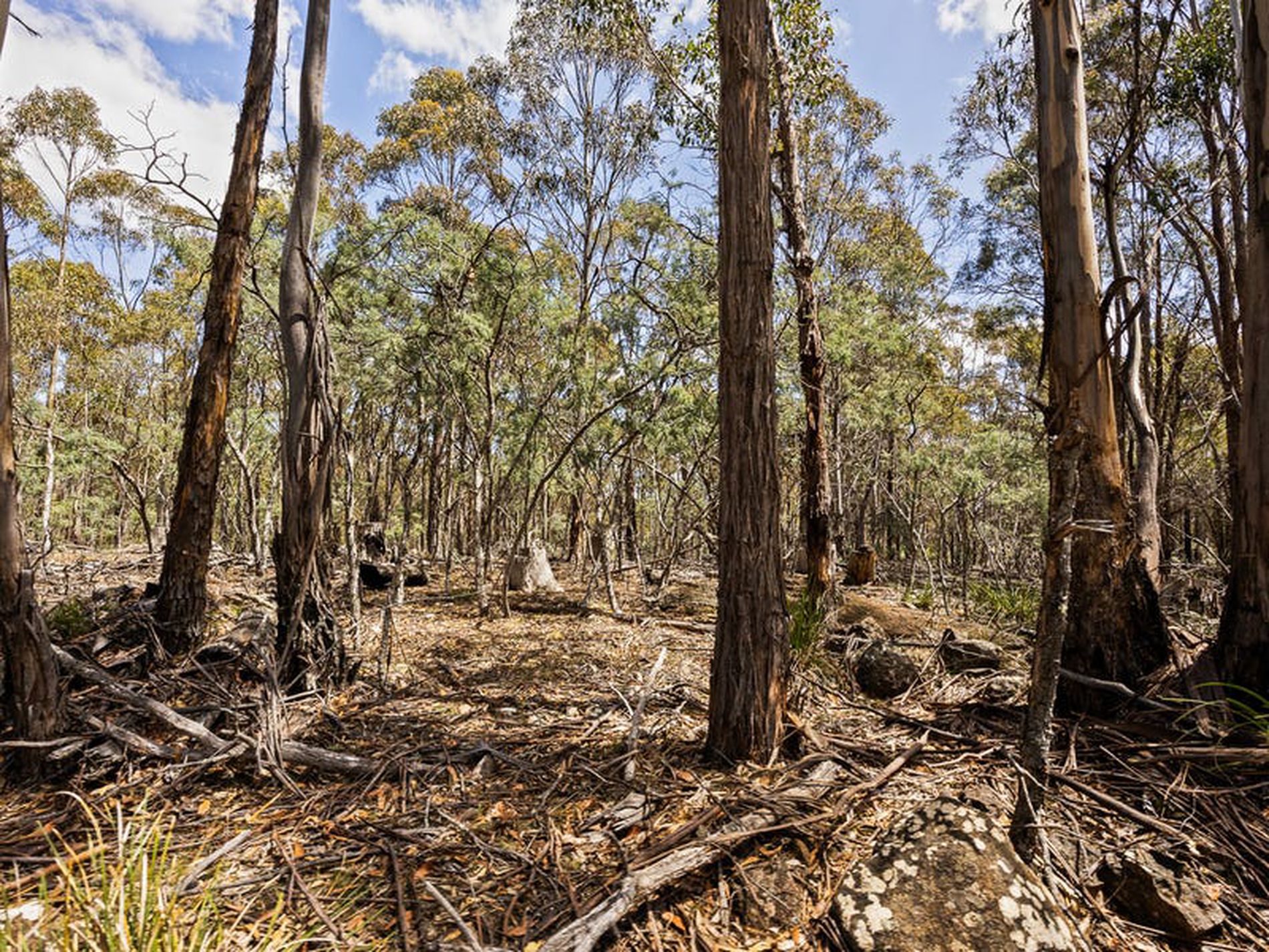
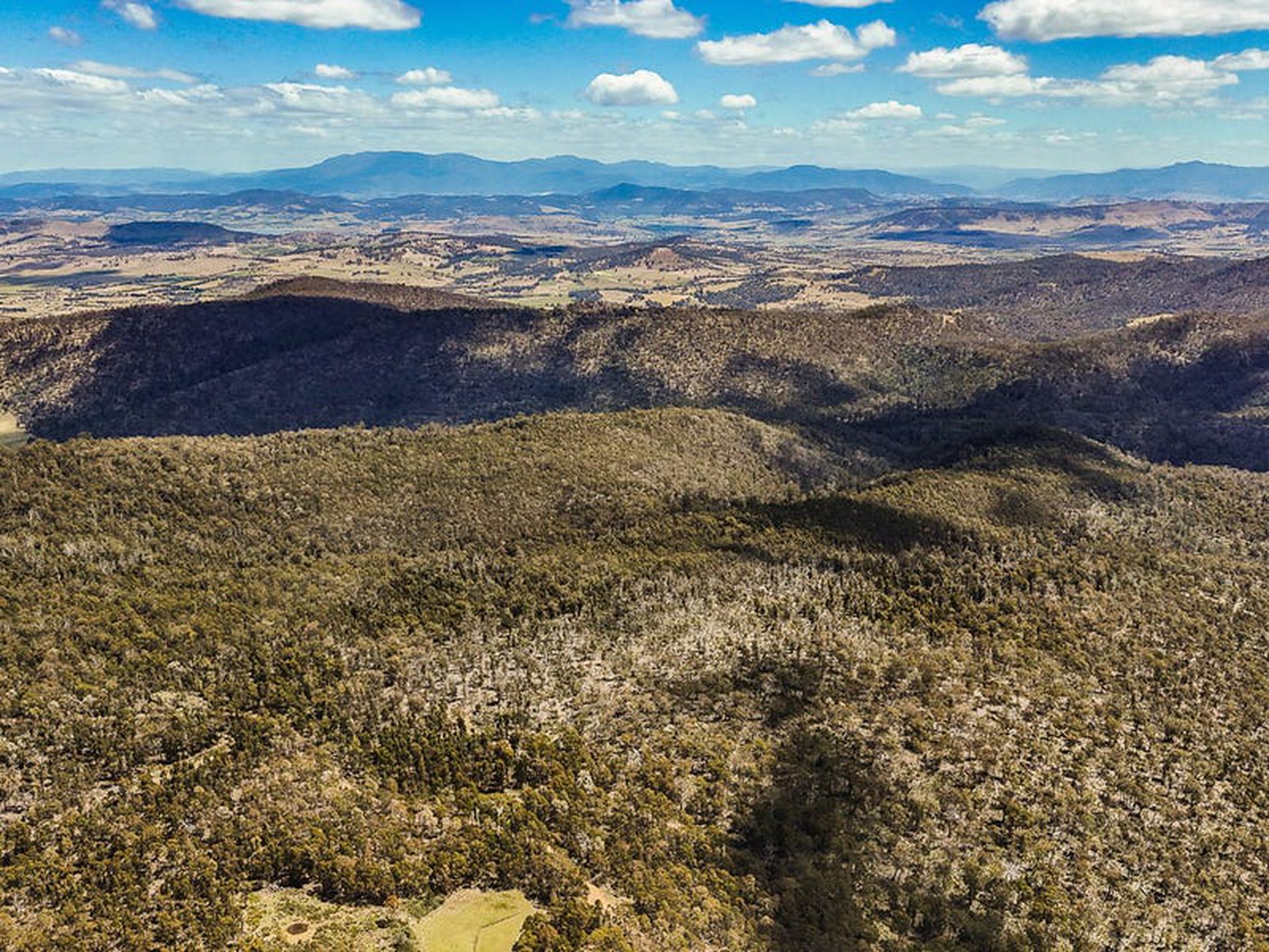
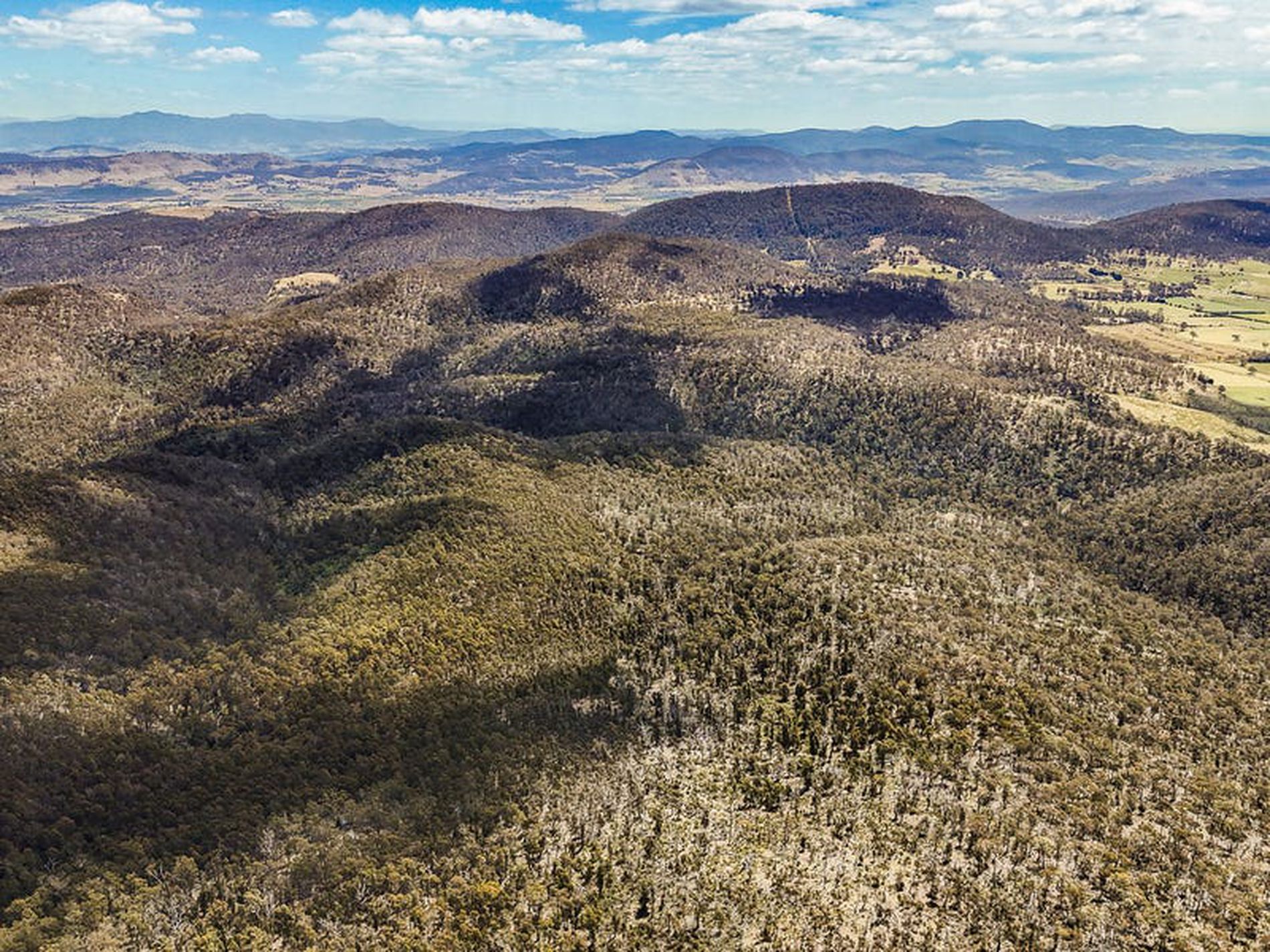
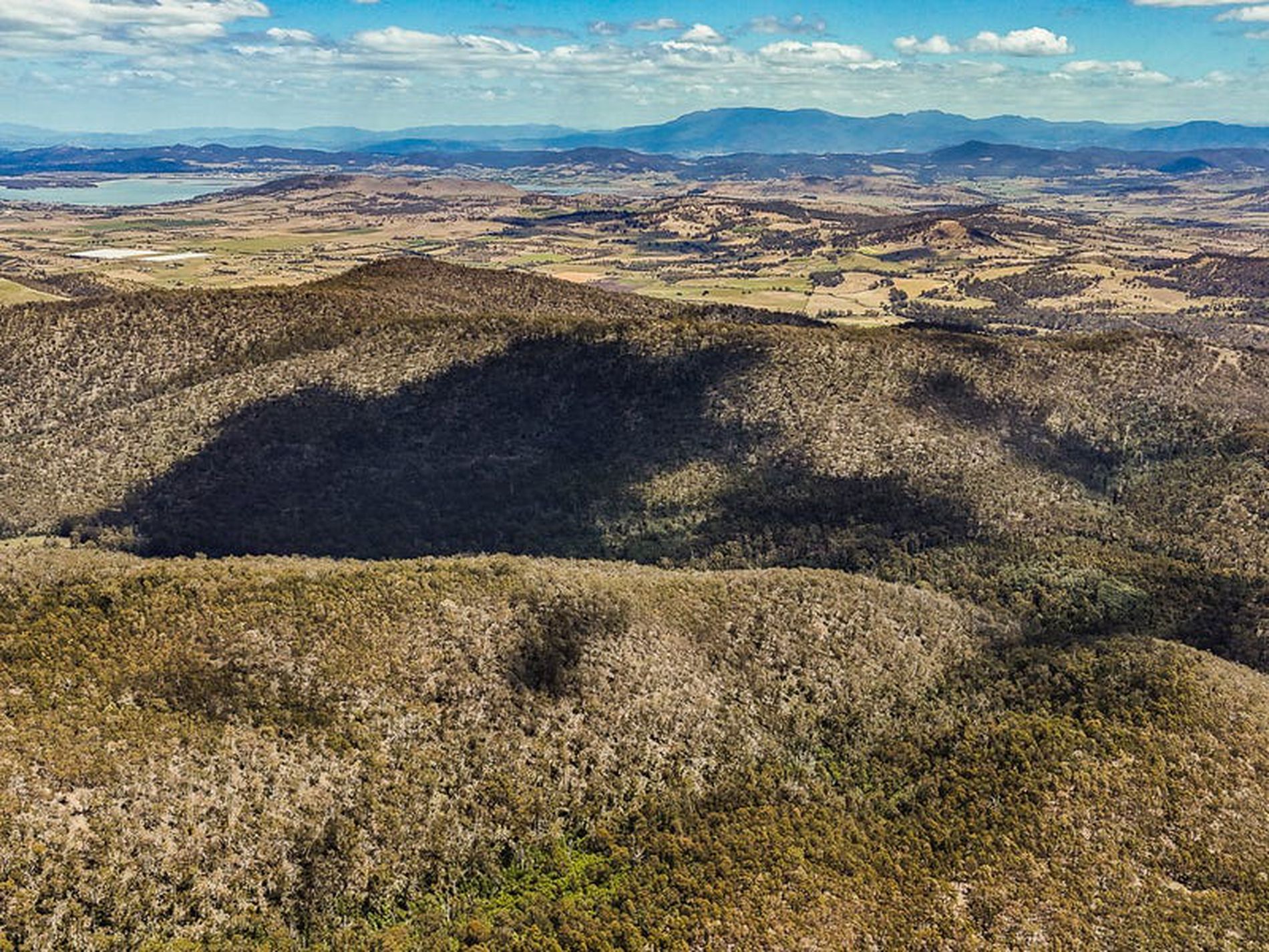
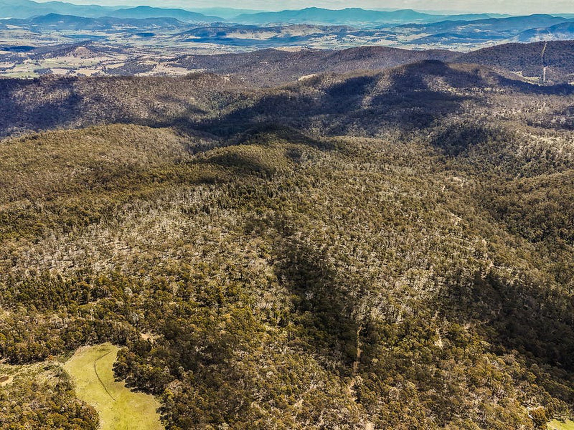
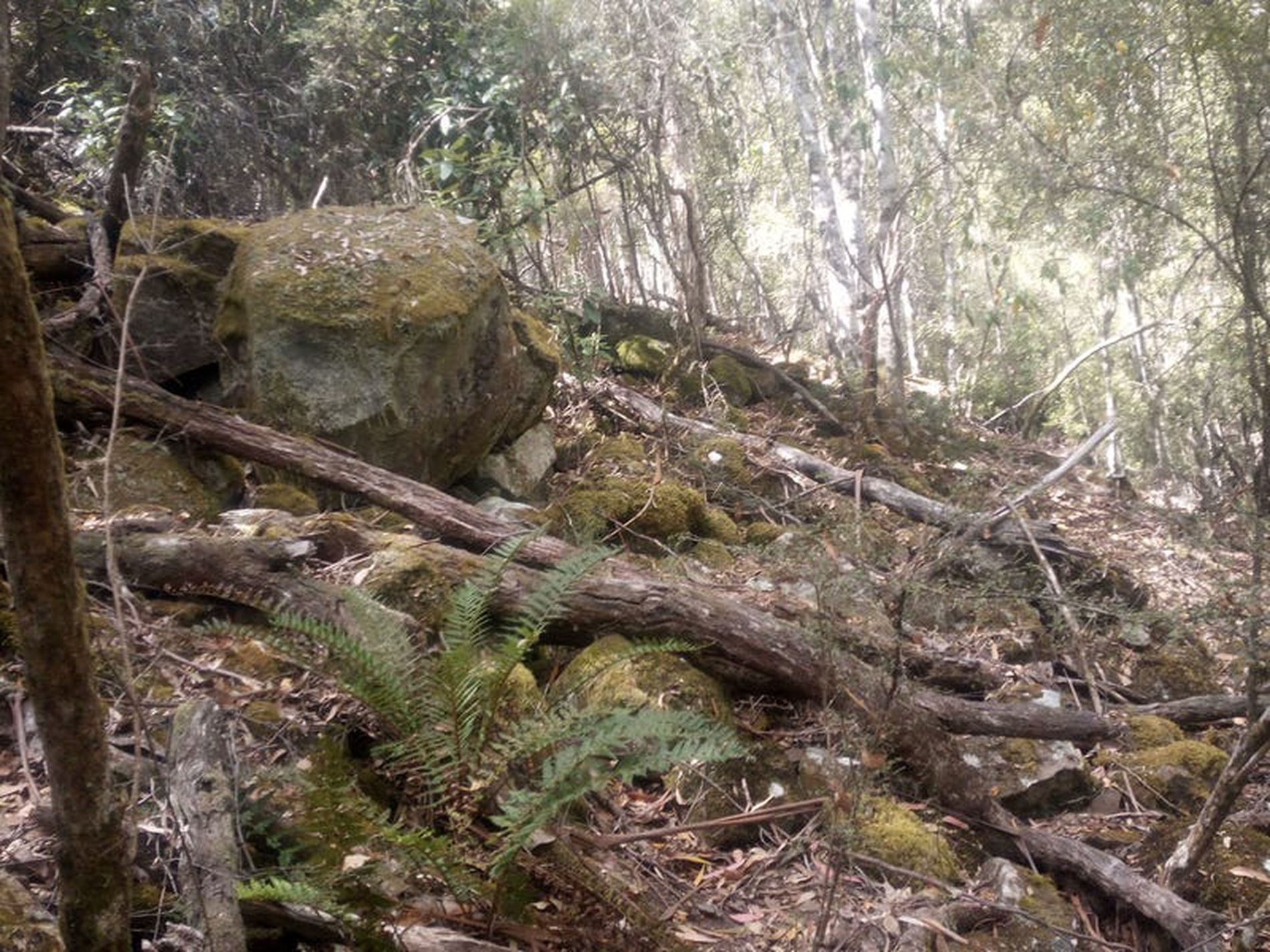
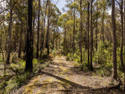
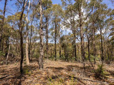
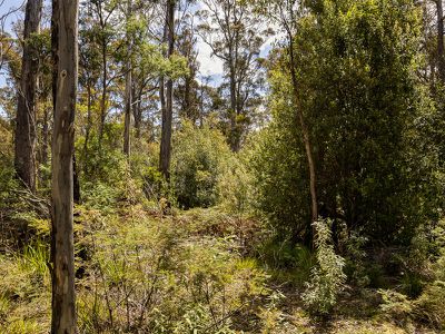
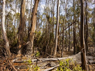
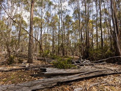
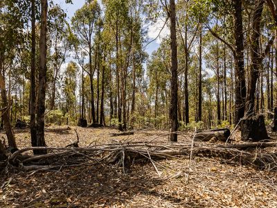
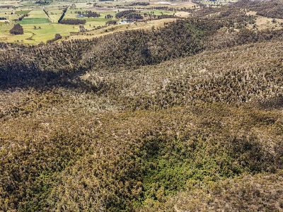
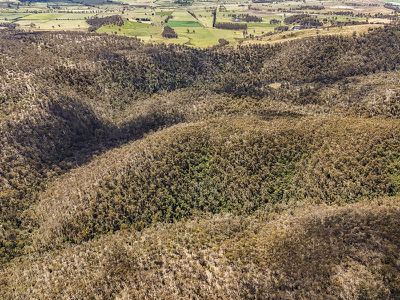
Neighbouring state plantation forest, the 121.4 ha (300acre) holding offers a combination of ex-plantation Eucalyptus gums and traditional native trees species which are commonly found on the Tasmanian East Coast/South East. These include Peppermint, White Gum and White-Top. Sitting on a sandy loam soil base it has an average rainfall of 678 mm annually.
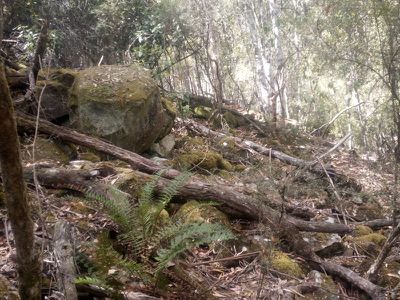
A four-wheel drive track though the middle of holding offers access to explore.
Area:
Runnymede was gazetted as a locality in 1960 and is a farming district on the Tasman Highway 20km north of Sorell. Formerly named Brushy Plains, the present name is said to have been given by a settler who thought he was working for a better future and named it Runnymede after the place near where King John signed the Magna Carta.
Facts:
Property ID: 5894437
Title Reference: Vol 212887/1
Land Size: 121.4 ha (300 acres)
Zoning: Rural.
Council: Southern Midlands Council.
Howell Property Group has no reason to doubt the accuracy of the information in this document which has been sourced from means which are considered reliable, however we cannot guarantee its validity. Prospective clients are advised to carry out their own investigations.